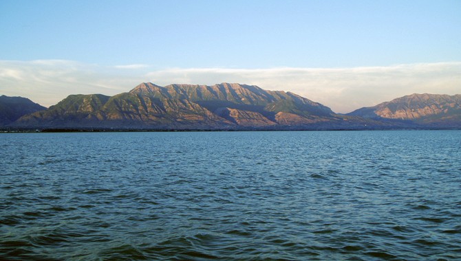
Below is a list of the official public access points to Utah Lake. They are listed geographically starting with the American Fork Boat Harbor and going clockwise around the lake. Each access point on the list will link you to a short survey that can be completed in 2-3 minutes. The surveys will ask a few simple questions about what improvements you would like to see at the access point. Included at the top of each survey is some brief information about the access point (location, basic amenities offered, parking tips, etc.). Please help by taking as many of the surveys as possible. Start by taking the surveys for the access points that you visit the most and/or the access points that you feel need the most improvement. Click here if you would like to see the access points with their corresponding survey links displayed on Google Maps. Using the map should be a more user-friendly way to take the surveys.
The Utah Lake Commission, the Division of Forestry, Fire, and State Lands, and the Division of Wildlife Resources will be working together to improve some of these access points. We want to hear your opinions so that we know where to prioritize our efforts.
- American Fork Boat Harbor
- Lindon Marina
- Vineyard Beach
- Vineyard Center Street
- Powell Slough North
- Powell Slough South
- Skipper Bay Trailhead
- Utah Lake State Park
- Airport Dike Road
- Provo 500 W.
- Mill Race
- Hobble Creek Wildlife Management Area
- Swede Lane
- Sandy Beach in Spanish Fork
- 4000 West in Lake Shore
- Lincon Beach
- Lincoln Point
- Mulberry Beach
- Goose Point North
- Goose Point South
- Tower View Point
- LeBaron Point
- Mile Post 13/Mosida Acres
- Mile Post 19/The Knolls
- Pelican Bay/Saratoga Springs Marina
- Eagle Park
- Inlet Park
- Blue Heron Beach
- Loch Lomond Trailhead
In addition, please let us know how you feel about the lake by taking the Utah Lake Perception Survey.


Chris,
Thanks for the survey. Keep up the good work.