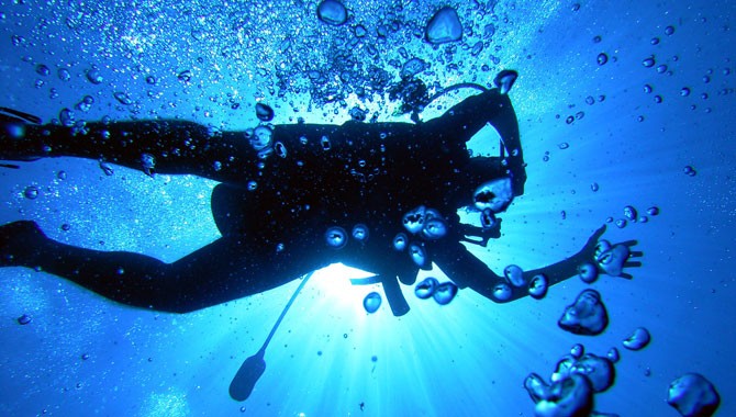
Hydrologist Robert Baskin of the U.S. Geological Survey recently studied water chemistry at Utah Lake. For best results, he dove one of the lake’s half dozen deep springs and shared the following with UtahLake.gov:
1. Utah Lake has an avg depth of 14 feet. In addition to the 63 foot deep spot you dove, how many other known deep spots exist in Utah Lake?
There are probably between 5 -10 large deep springs in Utah Lake. The majority of them occur in the northwest area of the lake and are associated with thermal waters. There are other springs located around the margins of the lake but they generally do not have large openings that a diver might access. There is a small spring just to the west of Bird Island that is easily accessible with about a 4″ orifice. Clear, warm water is flowing out of the vent into an otherwise murky lake. Many smaller thermal springs occur in the Bird Island area and along the north and west sides of West Mountain.
2. What were you doing on that particularly dive?
That dive was part of a larger effort to define the water chemistry of the springs and define the source of the water. I was diving to try and find an orifice where I could obtain a “clean” sample that was representative of only the uncontaminated spring water (i.e. not mixed with lake water). I only managed to get to 63 feet (on the pressure gage) by pulling myself down on the anchor line trying to overcome the buoyancy effects of the “mud boil.” I eventually had to let go of the anchor line to open up the bottle I was carrying to obtain a water sample. I lost the anchor line at the point and was on my own. Visibility was zero and I was using the change in temperature to guide me towards the spring. My wetsuit was keeping me cool instead of its normal job of keeping people warm. I had to consciously think of where the bubbles from my regulator were going to keep myself oriented. It was a very unique situation for me.
3. What did you learn from the experience?
Data from the dive provided both temperature and chemical information about the water which was used to examine the source environment of the water, possible routes the spring water took to the site, and a comparison point to compare with other springs and water sources to the lake. The springs are geothermally heated and are kept open by a constant flow of warm water from a deep-seated source. The spring flow is not strong enough to blow all the mud out of the area but does keep the mud in a continual state of suspension. In hindsight, it was probably not a good idea to dive in such conditions. I did not know if there were buried trees or some other hazard that I could have snagged up on. I did have a tether/safety line attached to me and to the boat; I had worked out trouble signals for the tether line; the line was attended by a support person on the boat; a spare, sealed octopus (regulator) was attached to my buoyancy compensating vest in a easy-to-reach location; my air tank was full; there was a spare tank on air on the support boat above me; and the support person on the boat was a licensed diver who also had a full set of dive gear available. If anything had gone wrong, I hopefully had a way out, but with no visibility, who knows what I might have encountered. Diving in zero visibility water is difficult at best; when it is a suspended mud solution, one really needs to be cautious as mud can clog regulators and interfere with otherwise solid safety procedures.


Can i get the gps cordinace for this 63 foot deep spring i would like to fish here
I’m told that this will get you close:
UTM 424402E 44657860N
LL 111 53′ 24″W 40 20′ 23″N
Did you ever get the GPS for the 63 ft hole Ive been trying to find it for years. Do you know if its by the Abyss?