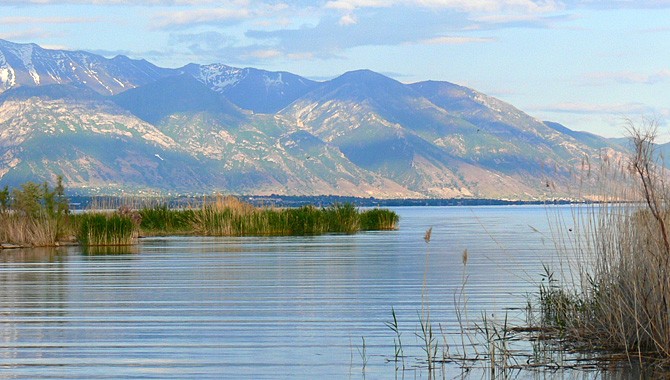
Utah Lake has been around a long time, so you’d think its boundaries would have been settled long ago. Not so says, Dick Buehler of Utah Department of Natural Resources.
“Since 1987, the state has been working to determine the ownership boundary which is legally the ordinary high water mark at the time of statehood,” says Buehler. “The problem is finding what that level or line around that lake was or is when the state was granted title to navigable waters under the federal Equal Footing Doctrine.”
To date, the state has settled with 80% of the 250 landowners around the lake by mutual agreement. “There were some landowners who were not willing to negotiate boundary settlements,” Buehler explains, “So in 1997, Utah filed a lawsuit and included all landowners who were in that category. The lawsuit is still going on today, but we hope that we are getting close to a decision from the federal judge who has been hearing the case.”
What does that mean for you and I? “The public and upland landowners need to know where the boundary is for obvious reasons,” Buehler says, pointing to the current list of 30 Utah Lake access points which will likely be affected when the issue is resolved.
Stay tuned.


What is the high water mark around Utah Lake specially by the American Fork boat harbor?
Randy,
Thanks for the question. If you go to our Utah Lake Trail Plan page (https://utahlake.gov/utah-lake-trail-plan/) you can look at the GIS map on that page, click the checkbox to turn on the “Utah Lake Compromise” and it will show you that boundary line for the entire circumference of the lake.